



A pale pearl octopus curls over her eggs in a crack of black volcanic rock, nearly two miles below the surface, and now scientists can see her world more clearly than ever. In early August, MBARI researchers returned to California’s famous Octopus Garden with upgraded mapping tools, giving one of the deep ocean’s most beloved nurseries a fresh new portrait [ref:1].
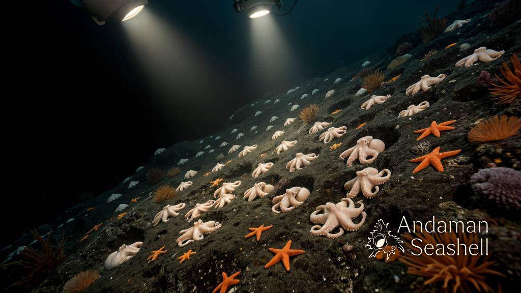
What makes this story so joyful is that the place is already extraordinary before the technology even arrives. The Octopus Garden sits 3,200 meters, or 10,500 feet, below the ocean’s surface on a small hill near the base of Davidson Seamount, an inactive volcano about 130 kilometers southwest of Monterey, California [ref:2]. Researchers first drew global attention to the site after its 2018 discovery, and MBARI later confirmed that pearl octopus, Muusoctopus robustus, migrate there to mate and nest [ref:2].
A nursery hidden in the cold
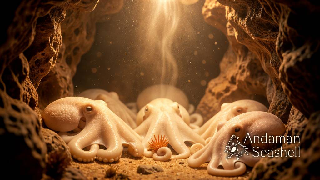
By deep-sea standards, this habitat is both severe and strangely generous. The surrounding water is just 1.6 degrees Celsius, about 35 degrees Fahrenheit, but inside the cracks and crevices where the octopus brood their eggs, temperatures rise to nearly 11 degrees Celsius because of thermal springs seeping through the seabed [ref:2]. That difference changes everything.
At ordinary abyssal temperatures, scientists would expect pearl octopus eggs to take five to eight years, or even longer, to hatch. At the Octopus Garden, the warmer microclimate cuts that timetable to less than two years [ref:2]. For an animal guarding eggs in the deep sea, that is a major advantage: a shorter brood period means less time exposed to predators and less energy spent waiting for the next generation to emerge.
MBARI’s project page notes that this is not a tiny pocket of activity. Researchers counted more than 6,000 octopus in one surveyed portion of the site and estimate that the full nursery may hold 20,000 or more nests, making it the largest known aggregation of octopus on the planet [ref:2]. The image of a deep-ocean hillside quietly busy with thousands of patient mothers is one of those facts that never stops feeling new.
How the new map was made
The August 2026 expedition added a new layer of precision to that wonder. Principal Engineer Dave Caress led a 10-day cruise aboard MBARI’s research vessel David Packard, using the remotely operated vehicle Doc Ricketts to carry the Low-Altitude Survey System, or LASS [ref:1]. This custom sensor suite combines multibeam sonar bathymetry, lidar bathymetry, and stereo photography so researchers can capture complex seafloor features at centimeter-scale resolution [ref:1][ref:3].
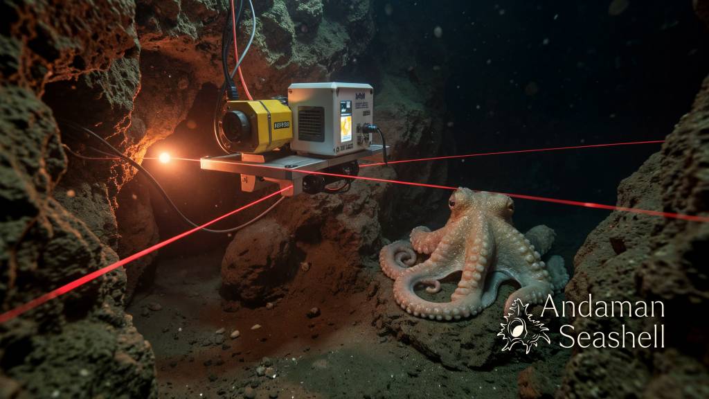
This was the first science deployment of LASS from Doc Ricketts aboard David Packard, and the system was upgraded with next-generation lidar and a new inertial navigation system for better underwater wayfinding [ref:1][ref:3]. MBARI’s CoMPAS Lab also used the mission to test visual SLAM—simultaneous localization and mapping—and real-time automated animal detection from the imagery stream [ref:1]. In plain language: the team was not only making sharper maps, but also teaching the tools to understand what they were seeing.
The scientists completed four surveys at Octopus Garden Ridge, a location the lab had already mapped in 2021, so they could compare changes over time and extend coverage beyond the most octopus-dense area [ref:1][ref:3]. During the same expedition, the marine operations team also logged the 1,500th dive for Doc Ricketts, a lovely reminder that breakthrough ocean science depends on steady engineering as much as dramatic discoveries [ref:1].
Why this matters beyond one famous site
One reason the Octopus Garden matters so much is that it helps researchers understand a kind of habitat that is easy to miss. Unlike classic hydrothermal vents, which send plumes high into the water column, ridge-flank thermal springs can be cryptic, with warm water dissipating only a few meters above the bottom [ref:2]. That makes detailed, repeatable mapping especially valuable.
The site is also protected. Davidson Seamount and the Octopus Garden are part of Monterey Bay National Marine Sanctuary, and the sanctuary boundary was expanded in 2008 to include the seamount after earlier expeditions revealed how rich its deep-sea life really is [ref:2]. Better maps do not just make prettier science. They help researchers build baselines, compare biological change over time, and give resource managers clearer evidence for protecting rare communities.
That may be the nicest part of this update. The new surveys do not take away the mystery of the deep ocean; they give it shape. A place once known mostly as an astonishing idea—a hidden octopus nursery in the dark—now comes into focus as a real landscape with ridges, springs, routes, temperatures, and life patterns that can be measured and revisited. The sharper the map becomes, the more alive the story feels. [ref:1][ref:2]


No comments yet. Be the first to share a thought.