



Science Just Learned to Measure the Mangrove Shield
When Typhoon Yagi pushed a wave almost 0.9 metres high into a restored mangrove forest on China's Zhanjiang coast in September 2024, it became the tallest wave anyone had ever recorded meeting a mangrove ecosystem. Then something quietly wonderful happened: by the time that wave had travelled the length of a football field through the trees, it stood just 0.36 metres tall [ref:1]. No concrete, no steel — only roots.
For generations, coastal communities have trusted mangroves as a living sea-wall. Now, in the space of a single month, two major studies have turned that trust into measurement — and given restoration teams around the world something they never had before: numbers they can plan with.
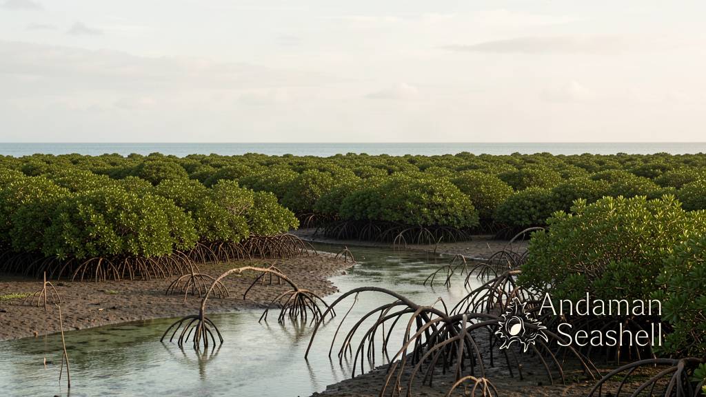
The typhoon that handed science a gift
The record wave was captured by the M5 lab at Sun Yat-sen University in Guangzhou, led by Zhan Hu, whose instruments happened to be in the water when Yagi struck. Across the whole monitoring period, the mangroves reliably cut wave height by 44–70% [ref:1]. The team's paper, published in the journal Climate Risk Management, reports 59% attenuation even at a significant wave height of 0.88 metres — the strongest field evidence yet that mangroves keep working when weather is at its worst [ref:3].
The clever part came next. Predicting how much wave energy a forest absorbs normally demands dense physics: drag coefficients, turbulence, the measured diameter of thousands of stems. The M5 team's new approach — the HU method, first introduced in a 2025 PNAS paper — needs only two simple quantities: relative wave height and the Ursell number, which combines wave height, length and water depth. In tests, it predicted what Yagi's waves actually did more accurately than established models, using nothing but calm-weather measurements as input [ref:1][ref:4].
Better still, the team wrapped the method in a free online tool. An engineer anywhere on Earth can now enter local wave data or a storm simulation and learn how much protection a given mangrove belt would provide — or how wide a forest a project should plant to reach a chosen level of calm [ref:1].
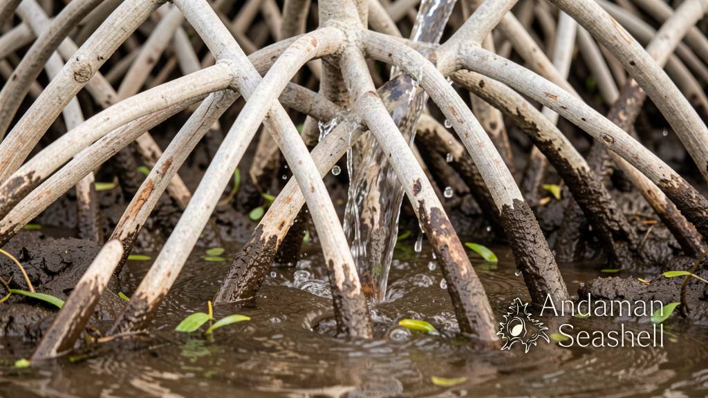
Why baby mangroves are the real puzzle
A second study, published in Nature on 6 October 2026 by a team led by UNSW Sydney, answered the question the first one raises: if mangroves protect coasts so well, why do so many planting projects fail?
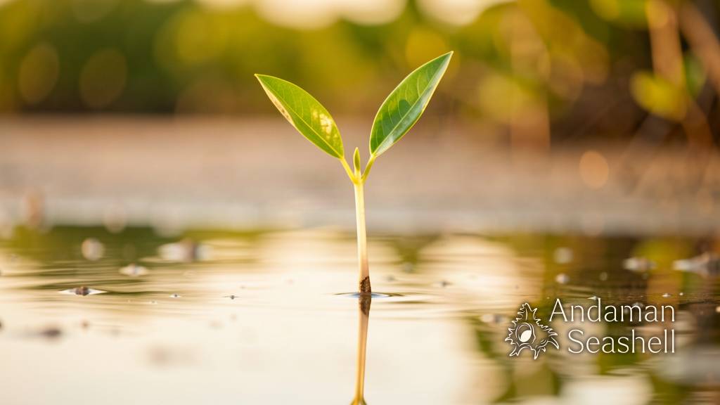
The answer is age. Led by PhD candidate Sarah Wells, the team analysed 20 years of wave data from 400 coastline sites — 200 with mangroves, 200 without. Mature trees shrug off serious wave force, but seedlings are another story: a one-day-old seedling can barely tolerate any waves at all, and the steepest climb in toughness happens during the first three months of life. Only where the sea offers 'windows of opportunity' — stretches of low wave energy long enough for roots to anchor — can a young forest take hold [ref:2].
The model this produced correctly predicted mangrove presence or absence at more than 75% of the 400 sites [ref:2]. That turns planting from guesswork into planning: choose calm seasons, favour sheltered angles of incoming waves (direction, the team found, matters as much as height), and survival rates climb [ref:2].
A shield you can now budget for
Put the two studies together and a new picture emerges. One tells us how much protection a standing forest delivers, even under a record typhoon, and hands us a calculator. The other tells us where and when new forests can be grown, and hands us a map. The work is part of UNSW's Project Halo, an Australia–Fiji collaboration restoring degraded coasts with nature-based solutions — and its logic travels to every tropical shoreline where communities and mangroves live side by side [ref:2].
There is honest caution still: researchers note the method has been tested on one stretch of coast, and a forest fully submerged by very high water loses some of its grip [ref:1]. But the direction of travel is delightful. The most ancient coastal technology on Earth — roots, mud, patience — is being written into the same language of models and forecasts we use for engineered structures. The sea-wall that grows back is no longer a saying. It is a specification.
References
- Mongabay — Mangroves keep waves at bay (1 Oct 2026)
- UNSW Sydney — Wave 'windows' could save mangrove forests around the world (6 Oct 2026)
- Climate Risk Management (vol 54) — Mangrove forests as natural protection from record-high storm waves
- PNAS — Predicting nature-based coastal protection by mangroves under extreme waves (2025)


No comments yet. Be the first to share a thought.